Computer Vision
Depth-Based Spatial Analysis Between Detected Objects
A Python vision component combines object detection, depth estimation and spatial-analysis logic for scene inspection.
The problem
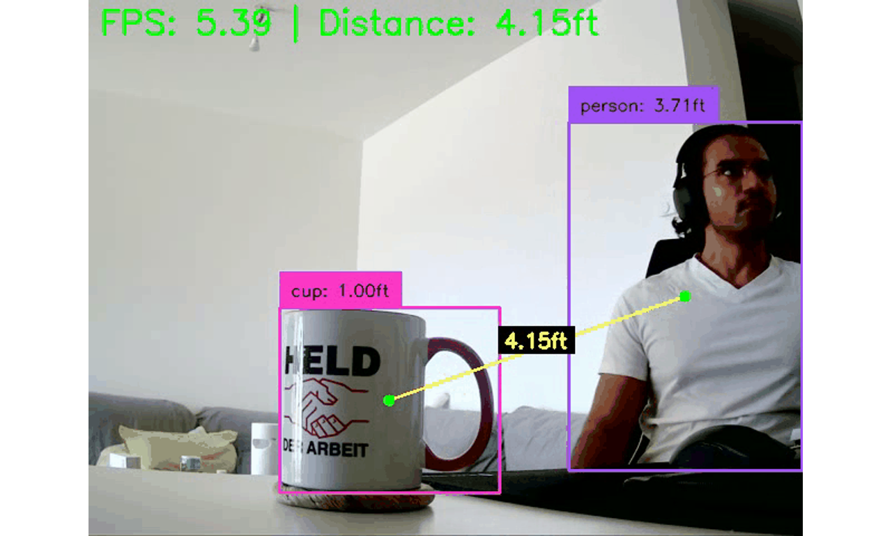
The task was to estimate spatial relationships between objects in a scene. Object boxes alone do not describe depth, so the processing path needed both detection and a depth estimate that could support distance and navigation-zone logic.
What I built
A Python project integrating a Depth Anything V2 depth-estimation component.
An object-detection component and utilities for spatial calculations.
Navigation-zone logic alongside object-distance estimation.
Configuration and a reproducible environment for running the project.
The delivered source separates detector, depth estimator and navigation logic so those components can be inspected or replaced independently.
The outcome
The handoff provides a starting point for scene-level spatial analysis. Monocular depth and estimated distances require validation against the intended camera and environment; this case study does not claim calibrated measurement accuracy or safety-critical navigation readiness. The value demonstrated is the integrated processing component, with deployment validation remaining application-specific.
Working on something similar?
Discuss a similar project →